Space, time and perception …
340 miles?
No, it is rather “only” 339 miles. I’ve paddled the race course from Kaw Point to St Charles 11 times and according to my GPS I’ve never made 340 miles. Of course, the last miles are much longer that the first miles in Kansas City. At least it feels that way …
Here is a short review of all my runs.
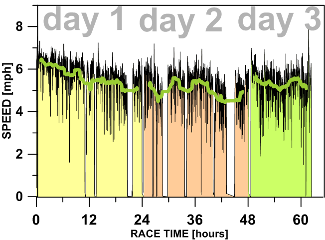
Fast and slow days
Typically, I am running the race in 60+ hours, so 2.5 days. My first race in 2006 was the slowest one: 78:36. The fastest run was an unofficial one at flooding stage in 2014: ~51 hours, and the fastest race was one year later: 53:16 (both in Sea Wind canoe).
The first day of the race is the fastest, but my speed is going down in the afternoon. The second day is always the slowest one with the daytime paddling between Glasgow and Cooper’s Landing being really challenging. The third day is getting better. I believe that the Osage River coming below Jeff City is adding water and some river current. Then, at Hermann I can smell the finish.
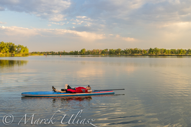
Half way
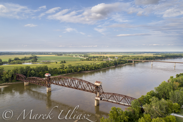
The old Boonville bridge is always the most anticipated landmark during my race. 140 miles are done. Now, I can count in reverse how many miles are left to paddle.
River current
How much the river current is helping you during the race? Obviously, it depend on water level and, also, how well you are able to stay within the fastest water.
In my planning, I am not assuming more that 2.5 mph. Do you have a better estimate?
Anyway, floating with that current you would make 220 miles in 88 hours of the time limit. It’s not a bad news. Only 140 miles are left for paddling. Of course, deadlines for the first two checkpoints are set up to eliminate drifters and really slow paddlers.
A few years ago, I was trying to figure out if it would be possible to complete the race in a packraft. It’s a very slow boat with a cruising speed around 2.5 mph. No problem with the 88 hours time limit, but it would be difficult to make through the first two checkpoints without a serious efforts and weather cooperation.
Expect unexpected
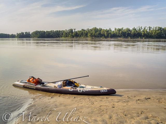
The last short stop during 2017 race at Dundee: mile marker 76.5, less than 50 miles to go, a pretty sleepy atmosphere. Almost there. Well, the last 3 or 4 miles offered me a real challenge with a strong thunderstorm and gusty winds.
You can always expect something on the river causing delays and messing up with your planning: storms, fog, no cellphone signal to text at checkpoints, a new GPS device need new batteries every 10 hours …
Kansas City to St Charles x 4
My MR340 trip usually takes about 8 days with a lot driving and photographing in eastern Colorado, Kansas or Nebraska and Missouri.
As a self supported paddler I am traveling 4 times between Kansas City and St Charles:
1. Actual race down the river.
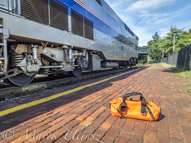
2. Shuttle back to Kansas City by Amtrak.
3. Fast driving to St Charles to catch the award ceremony on Friday night or not.
4. Returning back along Missouri River stopping at some checkpoints and river towns.
Related posts:
My First 12 Years with Missouri River 340 Race
Self Shuttle by Amtrak during Missouri River 340 Race.
You must be logged in to post a comment.